Five Jungles of Peru

The Tambopata River at Camino Verde Baltimori. Photo by Juan Carlos Huayllapuma.
text by Robin Van Loon, Executive Director of Camino Verde
Peru is often described as an Andean nation. But when it comes down to counting the square kilometers, in fact it’s majority Amazon. Indeed, the Amazonian bio-region covers 60% of the national territory – which is an area the size of Turkey, or if you prefer, about the same expanse as Pakistan. Peru is the country with the second largest extension of Amazonian forest after Brazil, and throughout this vast territory we encounter an impressive lineup of landscapes of special biological richness. Today we’re going to zoom in on five of the stars of Peru’s grand diversity of jungles.
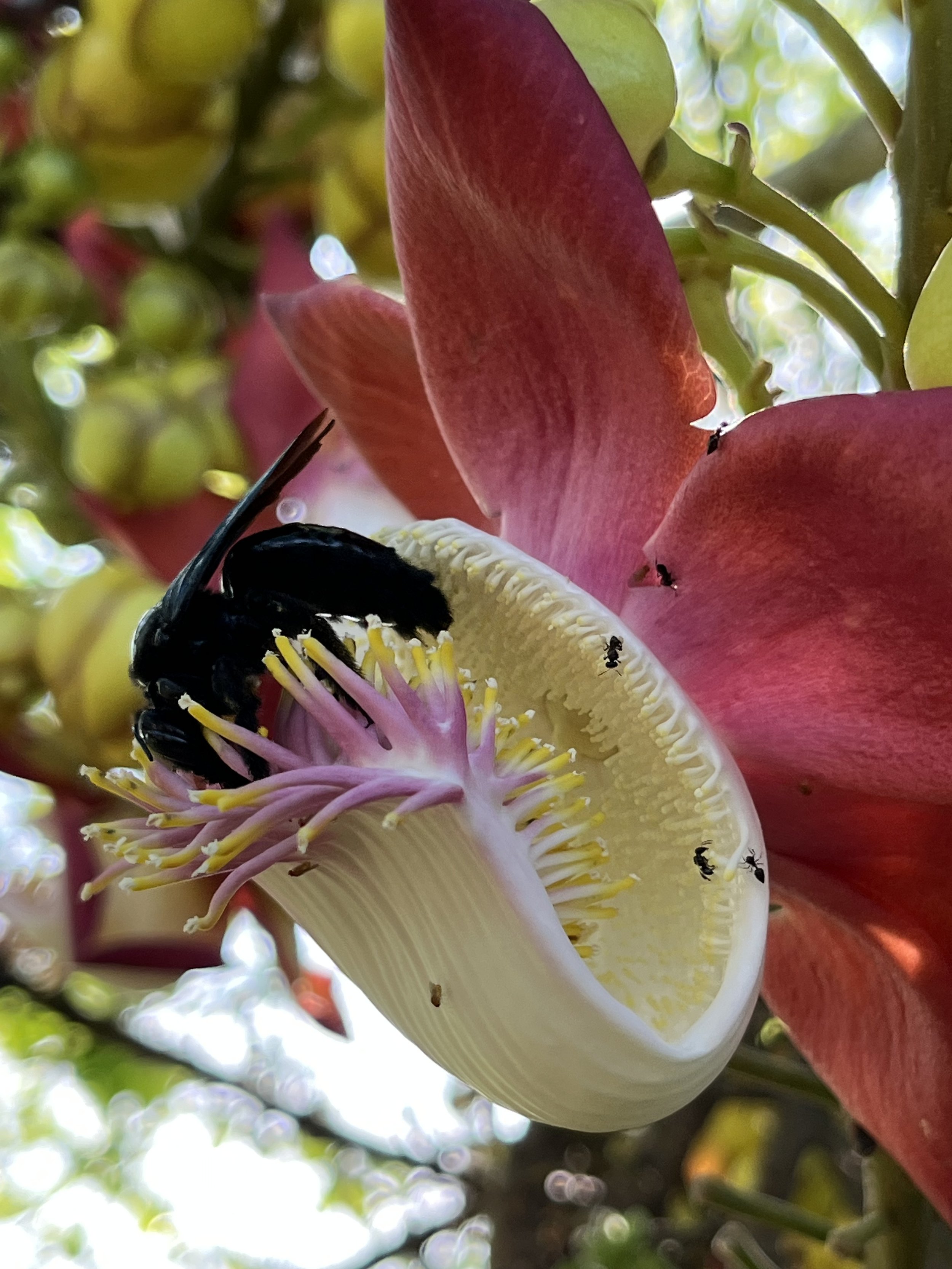
A solitary bee visits an ayahúma flower (Couroupita guianensis). Photo by Robin Van Loon.
Believe it or not, to limit ourselves to just five regions of the Peruvian Amazon to highlight is a challenge – just as it would be a challenge to, say, pick just five beautiful places in all of Turkey or Pakistan to showcase the whole range of these countries’ ecosystems. Lest we be tempted to imagine the Amazon rainforest as a homogeneous monolith of green, we might remember that this is the most species-rich terrestrial ecosystem of all. An astonishing 30% of all known species of organisms on Earth are found here. Within a vast region like the Amazon (whose total basin is roughly the size of the continental United States) there are many different forests and a diversity of forest types, of canopy-covered rivers and wetlands that are singular and special.
Each has its own marvels, each is an outlier in its own ways. That’s what makes them irreplaceable; that’s what led them to be called “hotspots” in the first place. By dipping into these gifted places, we catch a slightly broader glimpse of the full spectrum of life on our extraordinary planet. And we get to see into the beautiful complexity that lies beyond the myth of a monolith of green.
So let’s head for the forest, and dive into the ecology of five of the Amazon’s most extraordinary jungles.

The black water flood forest of the Yanayacu River at dawn, Pacaya Samiria National Reserve. Photo by Elisabeth Lagneaux.
1. Pacaya Samiria
Pacaya Samiria is a land of flood forests and blackwater rivers teeming with large flying birds including majestic harpy eagles and brilliant macaws, great herons and otherworldly camungos, or in English, the “horned screamer.” The numbers of kingfishers and hawks sighted per kilometer of glassy river traveled are off the charts. Called the “jungle of mirrors,” the surface of dark tannin-rich water in the flood season provide crystal-clear reflections of the trees crowding the banks. Underwater is important habitat for Amazonian manatees and river dolphins; and the area’s lakes are one of the key spawning grounds of the world’s largest freshwater scale fish (paiche or arapaima).

Blue-and-gold macaws. Photo by Marc Melzer.
In the peninsula of land where the mighty Marañón and Ucayali Rivers come together to form the Amazon River proper, Pacaya Samiria is a protected area larger than Israel, bigger than Slovenia, the largest of Peru’s national reserves (and second largest natural protected area of all, after Alto Purús National Park). Founded in the 1980’s, the park has been largely successful at the complex undertaking of involving communities that once lived from timber and hunting into active collaborators in the park’s protection.
River turtles locally called taricayas are now being bred and released in the wild by communities adjacent to the national reserve. And the towering aguaje palm (Mauritia flexuosa), an iconic species of the Peruvian Amazon’s tropical peat lands, is being managed sustainably by dozens of native communities within this natural protected area’s official area of influence. Though deforestation continues to rise along the highly populated Ucayali and Marañón Rivers, in the low forest areas near their confluence, where the Amazon River itself comes into being, the unique jungle of mirrors continues to be protected as an ecological jewel.

Tambopata River, Camino Verde Baltimori. Photo by Juan Carlos Huayllapuma.
2. Tambopata
Hard as it may be to believe, the jungle of Tambopata at dawn can be even noisier with birds than its northern analogue. This, the southernmost National Reserve in the Peruvian Amazon, is home to immense extensions of intact forests, equipped with impressive populations of parrots, macaws, toucans, oropendola, and woodpeckers, just to name a few. Unlike the blackwaters of Pacaya Samiria, the Tambopata is a whitewater river saturated in swirling mineral sediments washed downs by rains hitting the eastern flank of the Andes. Thanks to the quirks of geography and history, the Madre de Dios region where Tambopata is located has always been the lowest in population density of any Peruvian departamento. As a consequence, in Tambopata massive trees of a great variety of endangered species cohabitate with little-disturbed parrot clay licks sustaining still-robust populations of the colorful birds.

Owl monkeys of the genus Aotus. Photo by Marc Melzer.
Here in lowland valleys where snow-capped peaks are visible overlooking the headwaters, there are niche microclimate effects unique to such foothills, topped with their spider monkey troops. Hordes of peccaries swim across the rivers and run the beaches. Families of giant river otters fend off caimans and munch on piranhas in the oxbow lakes, where a full range of primates scour the trees overhead for fruit, like these owl monkeys of the genus Aotus.
In a forest where the diversity of life stretches the limits of the imagination, a single square kilometer of forest can house more tree species than are found in all of Europe.
Though Tambopata National Reserve is “only” the size of Luxembourg, it is part of a broader corridor of conservation areas that is larger than Italy. This massive necklace of green areas in Peru and Bolivia is called the Vilcabamba Amboró Conservation Corridor, and includes nearby Manu National Park and Machu Picchu. One of the crown jewels of biodiversity preservation in the Tropical Andes Biodiversity Hotspot, Tambopata is one of the Earth’s most biodiverse terrestrial landscapes of all.

The mostly intact forest of the Tambopata National Reserve and surrounding Buffer Zone. Photo by Juan Carlos Huayllapuma.
3. Yaguas-Putumayo-Algodón
In the area of influence surrounding the recently formed Parque Nacional Yaguas, pink dolphins, paiche, and river otters cruise rivers populated by a diversity of cultures and backgrounds. Native communities of Amazonian people are the key managing partners of two large Regional Conservation Areas adjacent to the national park – by their initials in Spanish, ACR Ampiyacu-Apayacu and ACR Maijuna-Kichwa.

A single mining raft can produce hundreds of dollars of gold a day. Photo by Marc Melzer.
It really is what you might call the heartland of the Peruvian Amazon: the basins of the Napo, Putumayo, Algodón, Yaguas, Apayacu, and Ampiyacu rivers, home to a broad range of ethnic and cultural lineages, a land of many peoples. That landscape rich in human cultures and languages is rich in storied rivers of world class size, many with brutal histories. In more recent years, this aquatic region has become the home of the quite new Yaguas National Park and the two ACRs, with a total of 16,941 square kilometers of protected forest and river, a conservation block larger than the state of Connecticut.
This area of convergence of great rivers is home to extraordinary aquatic biodiversity, an abundance of freshwater fish species with few peers in the world. A recent rapid biological assessment by Conservation International suggested that the area’s bodies of water hold a staggering diversity of fish. But this freshwater biological diversity is increasingly being threatened by illegal gold mining, a recent arrival to this border region.
The area is also the center of genetic diversity for Peru of the highly endangered tree Brazilian rosewood. With the disappearance of species like mahogany and rosewood, many of the forests here bear evidence of the last two centuries of extractive development; but there are also areas of remarkably intact forest (and naturally regenerated forest) serving as population reserves for a variety of important trees and animal species alike. Incredibly and sensibly, a few river basins such as the Ampiyacu are titled in their entirety to native communities that are co-executors of the natural protected areas nearby.

On a side valley that runs into the canyon-like Utcubamba, Gocta Falls is one of the most impressive visions of the Andes-to-Amazon transition. Photo by Robin Van Loon.
4. Utcubamba

Peruvian cotton (Gossypium barbadense). Photo by Robin Van Loon.
In Amazonas department, the Utcubamba or “Cotton Flats” River (in Quechua), is home to Andean willow trees at a diversity of altitudes. The connectivity between Amazonian jungle and Andean highlands is nowhere more apparent than in the river canyons and valleys of this region, home to lush orchards of Andean valley fruit and the remains of the unique pre-Inka culture of Chachapoyas. The river’s naming after cotton is indicative of the defining role this plant had in the crop systems of Amazonian and Andean pre-Columbian people. This land of waterfalls and hummingbirds also holds clues to the biological co-evolution of the flora and fauna of the Amazon in relation to the Andes.
With its roaring canyon rapids and its sinuously crinkled river valleys whose walls face in all the compass directions, the unique microclimates of the Utcubamba and nearby rivers include tropical dry forest, where Amazonian trees like tropical cedar grow unexpectedly out of parched hillsides. Andean trees like cherimoya and lucuma share territory with pineapple, sugarcane, papaya, and yes, cotton. Passion fruits, prickly pear, and avocado fan up and down the vertical gradient of ecological diversity. Native tree tomatoes sit shoulder to shoulder with newcomer coffee plantations. The Utcubamba’s waters flow into the Marañón, helping it become one of the Peruvian Amazon’s most important rivers long before it becomes the Amazon proper.
Across all this range of elevation, organisms of the lowland rainforest enjoy some sustained and some sporadic interaction with messengers arriving from the Andes – and vice versa. This dance at the edge of bio-regions is a boon for biodiversity, one of the reasons why the Amazon comes in first place for number of species.

The impressive biodiversity of Allpahuayo Mishana is still far from completely registered, especially when it comes to fungus and insect species. Photo by Breon Hole.
5. Allpahuayo Mishana
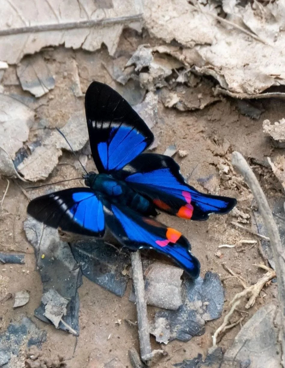
The diversity of species of butterflies in the Peruvian Amazon is the greatest of anywhere in the world. Photo by Marc Melzer.
In the isthmus between the Itaya and Nanay –two decent-sized rivers that empty into the Amazon near each other– sits the Peruvian Amazon’s largest city, Iquitos, named after the tribe that lived in the present location of the city, the Iquitus. Just west and south of the city on this isthmus between rivers, the Allpahuayo Mishana National Reserve is home to the unique dwarf forests called varillales or “staff” forests, made up of dwarf, skinny versions of familiar Amazonian tree and palm species. The only forest type supported on the sterile white sands found in some parts of the basin of the Nanay River, the varillal forest is a unique expression of Amazonian flora molded by the demands of one of its most fundamental characteristics, its soils.
Normally gigantic Amazonian trees grow in strange, stunted forms, skinnier and shorter than their counterparts of the same species found in other forests on other soils. The protected area of the national reserve is a needed consideration, as other staff forests in the area have been decimated for their useful timber products, such as compact, dense tree trunks for polewood and scaffolding. The white sand itself is taken to Iquitos and mixed with cement for construction. Not to mention that the tree cover here is further threatened by encroaching urban (and suburban) expansion.
Some unique species of birds live only here. When the black waters of the Nanay River overflow into the flood forests on their white sands, a unique ecological interaction takes place, found nowhere else on Earth quite like here. But what makes Allpahuayo Mishana especially important is that the varillal forest type is found in close proximity to other, very different forest types. So it is that a small reserve, just slightly larger than the urban area of the city of Iquitos, has been recognized for its high conservation value, demanding of protection for the enjoyment of future generations.

The Amazon River is impressively broad, even thousands of kilometers away from where it reaches the ocean. Photo by J. Carlos García.
A Region of Unique Significance

An Amazonian woodpecker in Tambopata, Peru. Photo by Marc Melzer.
When we talk about biodiversity hotspots, here in the Peruvian we’re talking about the wonders of nature. We are talking about natural treasures, national treasures, the Grand Canyons and Grand Tetons and giant Sequoyah equivalents of the Amazonian rainforest. We’re talking about unique places worth preserving. Unfortunately, if left to the devices of market pressures as the only consideration, these places will undoubtedly be irrevocably altered and degraded of some of their radiance and richness in the course of our lifetimes.
Yeah, yeah. We all know we have to “save the rainforest.” But “the rainforest” is actually many forests. When we see through the illusion of a monolith of green, we see a multitude of creatures and watersheds, each worthy of admiration, of dignity and respect. Each is a place that is home to combinations of life on life found nowhere else on Earth. In the course of just five jungles, we can begin to see some of the impressive grandness of life in a place that has no peers.
Be a Part of Caring for these Forests
You can help us to protect these places. That’s right, by donating to Camino Verde, you are directly contributing to programs carried out in the forests described above. From our reforestation centers in Tambopata to our community agroforestry programs in the area of influence of Yaguas National Park, Camino Verde is taking direct action to build regenerative economies with native communities in key landscapes of the Amazon. Be a part of the change! Contribute today.

The Tambopata River at sunrise. Photo by Juan Carlos Huayllapuma.

Primary and secondary forest in the buffer zone of the Tambopata National Reserve. Photo by Juan Carlos Huayllapuma.